GReD is a Politecnico di Milano spin-off SME that studies, designs and develops innovative and highly customized solutions based on geomatic technologies
OUR MISSION
GReD primary objective is to take to the market, with passion and competence, our R&D experience cultivated at Politecnico di Milano in the following application areas:
Structure displacement monitoring
Ground displacement monitoring
Gravity field modelling and inversion
Atmospheric sensing
OUR STORY
“GReD is a spin-off of Politecnico di Milano, born in the framework of the PhD course on Geodesy and Geomatics (later Geomatics and Infrastructures), as an agreement between myself and four of the Doctors that got their degree between 2009 and 2011. The idea was that there was too much competence built in several branches in Geodesy and Geomatics, to let it be dispersed in the general market. The previous experience with some leading companies in the area, like ESRI Italia, convinced us and the partners that, with a wise management of competence and a serious engagement in transforming ideas into products of industrial value, we could afford the gamble of founding a company having a significant probability of success. Furthermore, matters like the analysis and interpretation of the gravity field, the analysis of GNSS data to monitor the environment (including atmospheric sounding) and structures/infrastructures not only required a high level of competence on the existing techniques but also a capability of developing and implementing new ideas at the frontline of research and maybe a little beyond.”
“GReD: an enterprise for geomatics data analytics and services, that is never comfortable with standard solutions only“
Fernando Sansò, GReD President
THE TEAM
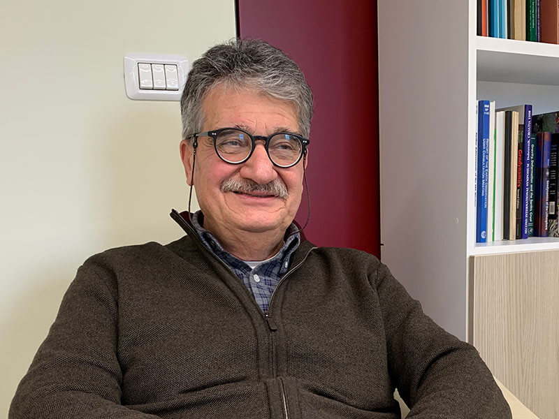
Fernando Sansò is professor Emeritus of Politecnico di Milano, full member of the Accademia dei Lincei. His fields of research encompass gravity field modeling and inversion, boundary value problems, statistics, generalised random fields and GNSS theory.
FERNANDO SANSO'
Fernando Sansò is a full professor at Politecnico di Milano, Department of Civil and Environmental Engineering (DICA).
He received his degree with honours in Physics from the University of Milan in 1967.
In 1969 he was assistant at the Institute of Topography of the Politecnico di Milano and then teacher of Surveying at the Faculty of Engineering of the Politecnico di Milano from 1976 to 1981. He was member of the Scientific Committee of the Italian Society of Surveying and Photogrammetry and director of the Institute of Surveying, Photogrammetry and Geophysics of the Politecnico di Milano from 1982 to 1992. In 1989 he became member of the National Geophysical Council; in 1990 he was chair of the international project GEOMED, for the determination of the geoid in the Mediterranean Sea. In 1992 he established the International Geoid Service and became its President. In 1995 he was elected 1st Vice-President of the International Association of Geodesy and became Deputy Dean of the Faculty of Engineering of the Politecnico di Milano, in Como. In 2000 he became Editor of the Geophysical Journal International. He was organizer of a series of International Schools of Theoretical Geodesy, of International Schools for the geoid and of a series of International Symposia (Hotine-Marussi) on Theoretical Geodesy.
He has been President for about 10 years of the course of study in Civil and Environmental Engineering, and of the new International Master of Science in Environmental and Geomatic Engineering of the Politecnico di Milano at the Como Campus. He is Chairman of the Ph.D. in Environmental and Infrastructure Engineering of the Politecnico di Milano, full professor of Geodesy and President of the International Geoid Service.
He received the Bomford Prize for Geodesy in 1979, the Feltrinelli Award for Astronomy, Geodesy, Geophysics and Applications in 1986, a Doctor Scientiarum h.c. degree in Geodetic Science at the University of Copenhagen in 2002, a Doctor Scientiarum h.c. degree in Geodesy at the University of Thessaloniki in 2008 and a Doctor Scientiarum h.c. in Geodesy at the University of Stuttgart in 2009. He is corresponding member of the Accademia dei Lincei from 1986, he was President of the International Association of Geodesy from 1999 to 2003, now Honorary IAG President, he is also fellow of the Royal Astronomical Society (UK) from 2004 and from 2007 is full Member of the Accademia dei Lincei. Nominated by CNR as Italian delegate to the IAG (International Association of Geodesy) in 2011. In the year 2016 he is awarded the title of “Professor Emeritus” of Politecnico di Milano.
From 2008 he is Editor in Chief of the new Bulletin of Geodesy and Geomatics and Member of the Editorial Board of the Rendiconti Lincei: Scienze Fisiche e Naturali. He is author and co-author of about 350 works, articles and conference reports half of which at an international standard. He is also Editor of 4 books of Lecture Notes and several volumes of the Proceedings of IAG Symposia with Springer-Verlag.
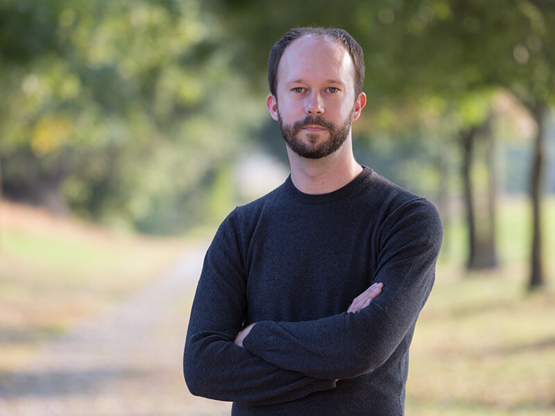
Eugenio Realini got a Master of Science in Environmental Engineering and a Ph.D. in Geodesy and Geomatics at Politecnico di Milano. He focuses on applications of GNSS for geosciences. Co-inventor of the GeoGuard monitoring service.
EUGENIO REALINI
Eugenio Realini got his Master’s Degree in Environmental Engineering in 2005, and his Ph.D. in Geodesy and Geomatics in 2009 (with honours), both from Politecnico di Milano (Italy).
His research activities focus on GNSS positioning and GNSS-based tropospheric analysis. He is co-founder and developer of goGPS, an open source software application for GNSS positioning.
In 2009 he was postdoctoral researcher at Politecnico di Milano, working on open source geographic web services. In the same year, he was awarded a postdoctoral fellowship by JSPS (Japan Society for the Promotion of Science), for continuing his research at Osaka City University (Japan), on GNSS positioning provided as a web service. From 2011 to 2014 he worked as a postdoctoral researcher at Kyoto University, where he conducted research on troposphere monitoring and analysis, experimenting the use of the Japanese satellite system QZSS, in conjunction with GPS, for precipitable water vapour estimation at a local scale by means of dense receiver networks.
He is a double-winner of the European Satellite Navigation Competition 2015, having been awarded the University Special Challenge Prize and the Netherlands Regional Prize for a project on the deployment of low-cost GNSS stations in East Africa for atmospheric water vapor monitoring, in collaboration with Prof. Nick van de Giesen of Delft University of Technology.
Eugenio coordinated the H2020 project GIMS (https://www.gims-project.eu/) and the ESA project HYPER-5G (http://www.hyper5g-project.eu/). He led GReD activities in the H2020 projects BRIGAID (https://brigaid.eu/), TWIGA (http://twiga-h2020.eu/) and SINOPTICA (http://sinoptica-project.eu/), in the ESA projects STEAM (https://www.researchgate.net/project/METAWAVE-STEAM) and CAMALIOT (https://navisp.esa.int/project/details/148/show) and in the Fondazione Cariplo project LAMPO (http://lampo.polimi.it/). He is author and co-author of about 40 publications, half of which on international peer-reviewed journals. He held exercise lectures, laboratories and seminars on GNSS-related topics for academic courses in Italy (Politecnico di Milano), Switzerland (ETH), Japan (Osaka City University, Kyoto University) and China (China University of Mining and Technology of Beijing). Since 2012 he is member of the Japan Geoscience Union (JpGU).
Eugenio Realini’s pages on:
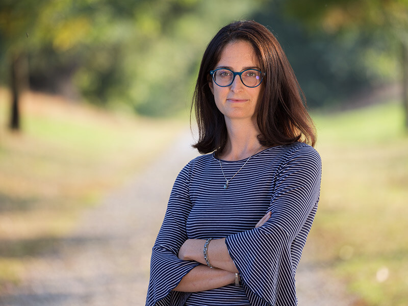
Lisa Pertusini got a Master of Science in Environmental Engineering and a Ph.D. in Geomatics and Infrastructures at Politecnico di Milano. Her main focus is on applications of GNSS precise positioning and business development.
LISA PERTUSINI
Master degree with honours in Environmental Engineering in 2006 at the Politecnico di Milano, with a dissertation about the use of ENVISAT and QuikSCAT satellite data for the estimation of the sea-ice extension and thickness in the North-East of Greenland. This study was performed during her 6 months permanence at the Niels Bohr Institute (University of Copenhagen) in Copenhagen.
PhD with honours in Geomatics and Infrastructures at the Politecnico di Milano with a thesis titled “Error budget of future satellite missions to monitor gravity field time variations” (2011).
From April 2010 she worked at the Politecnico di Milano as temporary research assistant. During her permanence at the Politecnico di Milano both as PhD student and as research assistant, she worked as teacher assistant in different bachelor and master degree courses, such as Probability and Statistics, Topography, Photogrammetry, GPS Navigation.
From April to December 2011 she worked for Galileian Plus s.r.l. with a project based contract, mainly on GNSS topics, in particular navigation issues
Since February 2012 she has been working for GReD s.r.l.

Stefano Caldera got a Master of Science in Environmental Engineering and a Ph.D. in Geomatics and Infrastructures at Politecnico di Milano. His main focus is on GNSS data processing. Co-inventor and manager of the GeoGuard monitoring service.
STEFANO CALDERA
Stefano Caldera graduated in 2006 in Environmental Engineering at Politecnico di Milano. In 2010 he received his PhD in Geomatics and Infrastructures (with honours).
The main research activity concerns GNSS data treatment for high precision applications, with a focus on GNSS permanent station networks for positioning services (adjustment and quality) and deformation monitoring, and networks relating to global and cartographic reference systems.
Author and co-author of publications in international peer-reviewed journals since 2006. He has participated in national and international conferences with oral presentations both as a speaker and with posters.
In 2010 he was awarded with the Autec prize for the best Doctoral thesis underSSD ICAR06 (Topography and Cartography). Since academic year 2003/04 he has been held exercises and labs at Politecnico di Milano, among them Geodetic Monitoring, Topography, Surveying and Positioning; he partecipated as teacher in EasyLog and Hi-TEC Research project for Politecnico di Milano, and also in GPS School for Leica Geosystems Italia. He is supervisor, co-supervisor and tutor of both Bachelor and Master Degree thesis at Politecnico di Milano Environmental Engineering Department.
GReD CEO from May 2015 to February 2020.
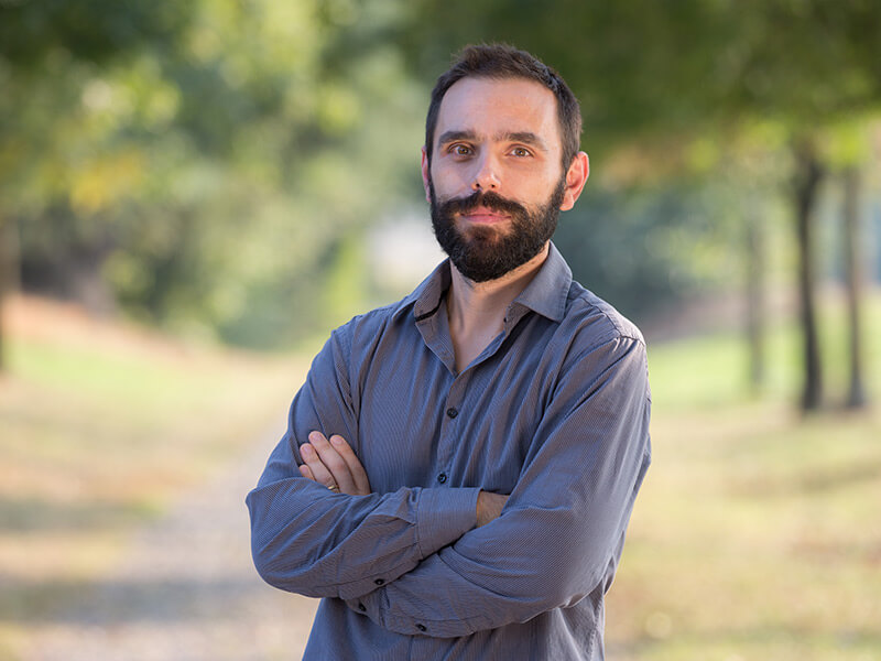
Daniele Sampietro got a Master of Science in Environmental Engineering and a Ph.D. in Geodesy and Geomatics at Politecnico di Milano. His main focus is on applications of potential field methods for geophysical exploration.
DANIELE SAMPIETRO
Daniele Sampietro is BOD member and senior researcher in GReD s.r.l. He received is PhD degree with honours in 2009, whit a thesis on the “Inverse gravimetric problem with GOCE data”.
From 2009 to 2011 he was postdoctoral researcher at Politecnico di Milano, working on the modelling and inversion of the gravity field to estimate geoid undulations and crustal structure at regional scale.
He has been principal investigator of the GEMMA project (GOCE Exploitation for Moho Modeling and Application), funded by ESA in the framework of STSE program from 2011 to 2012 and of the GIULIA project (Gravity Inversion to understand Lithospheric Architecture), funded by ESA in the framework of VAE program from 2016 to 2017. He has been involved in the FP7 project “GAL – Galileo for Gravity”, in the national project “GOCE-ITALY” and in the INTERREG project “HELI-DEM: Helvetia-Italy Digital Elevation Model”. He won the AGLC “Licio Cernoboro” award for young researchers in the “Applied Geophysics” session of the 32nd national conference GNGTS. From March 2016 he is principal investigator of a project for upstream activities for a major oil & gas company aiming to develop advanced techniques for the acquisition, processing and inversion of gravity data.
In GReD his main research activity concerns the processing and interpretation of the Earth’s gravity field with particular attention to the observations of the GOCE satellite mission and of airborne derived gravity for oil & gas exploration. Other areas of research include statistical data analysis, with applications to the estimation of the geoid and surveying integrating classical observations with GNSS data.
Since academic year 2005/06 he has been held lessons, exercises and labs at Politecnico di Milano. Among them he teached Topografia, Rilevamento e Posionamento, Photogrammetry, Cartografia Numerica, Gravity Prospecting, Gravity interpretation, Atmospheric Physics and Archeoastronomia. In 2012 he has been held a seminar on the use of GOCE data for the Moho estimation in the Phd course of Geodesy and Geomatic of Politecnico di Milano and at the Dipartimento di Fisica e Scienze della terra of Università di Ferrara. He has been co-tutor of 6 Master Degree thesis and 1 PhD Thesis. He is external expert for the “Modelling the Earth’s crust: From outer space to deep under” project, funded by Netherland Organization for Scientific Research, and proposal evaluator for the Czech Science Foundation, (2012 – 2017) and Netherland Organization for Scientific Research) (2016). Author and co-author of about 30 publications peer-reviewed at international level. Since 2006 he has participated in national and international conferences with about 30 oral presentations, half of them as a speaker, and about 30 posters.
Daniele Sampietro’s pages on:
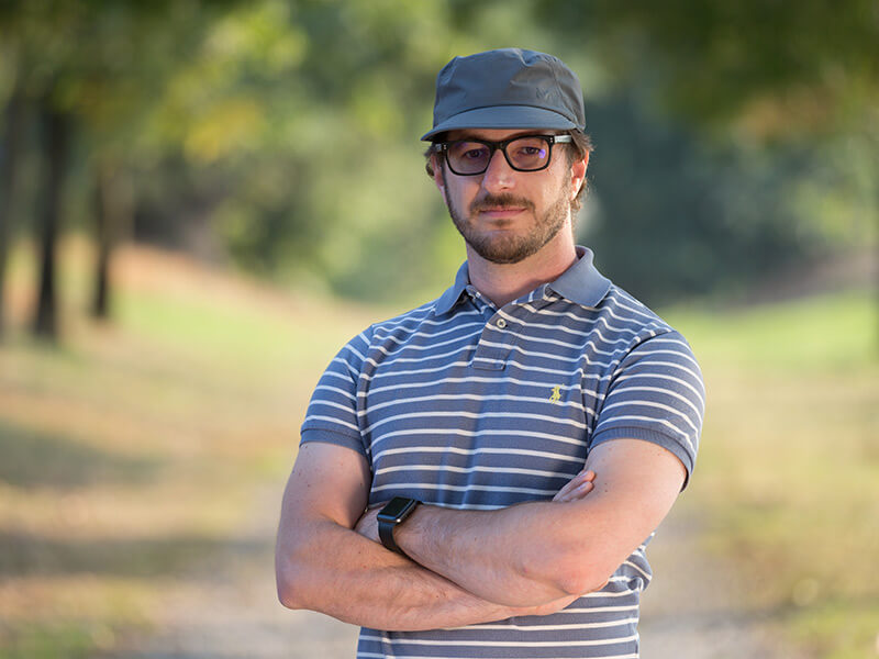
Andrea Gatti got a Master of Science in Computer Engineering and a Ph.D. in Environmental and Infrastructure Engineering at Politecnico di Milano. He is now mainly focused on the development and optimization of GNSS processing software.
ANDREA GATTI
Andrea Gatti got a Master of Science in Computer Engineering and a Ph.D. in Environmental and Infrastructure Engineering at Politecnico di Milano. He largely contributed to the development of the space-wise approach for the analysis of gravity data of the ESA-GOCE satellite mission, using which, he computed the global gravity model GO_CONS_GCF_2_SPW_R5 available at the International Centre for Global Earth Models archive.
His research is focused on the development of code for data analysis with a special attention to processing performances and parallel execution. At the beginning of 2017, he oriented his studies to the analysis of GNSS data and started working on a project aiming to tropospheric analysis through the usage of GNSS data for the calibration of SAR APS data.
He became one of the major contributors to the open-source software called goGPS, an application for the analysis of GNSS data. In 2017, he started a new development branch that led to large improvements in performances and usability by a complete re-write of most of the code. The new goGPS focus, now shifted to the processing of continuously operating stations, will allow the project to grow for the next years.
Since April 2018 he is part of the GReD s.r.l. team.
During his time at GReD, Andrea led the development of the in-house software BREVA, which he co-created with Giulio Tagliaferro as a fork of goGPS. He contributed to the development of BREVA processing engines and to the ambiguity fixing module.
Andrea introduced new techniques for antenna calibration and multi-path reduction, enhancing the accuracy of atmospheric slant delay estimates and gradient retrieval. Applying a similar methodology to short baseline estimation, he significantly enhanced BREVA’s performance, achieving results that surpass those obtained with the Bernese software by reducing errors in hourly solutions by a factor of 2-4 for low-cost receivers especially in harsh scenarios.
He played a key role in the Hyper5G project to combine 5G measurements with GNSS data, where he developed the BREVA Kalman filter engine for jointly process observations from multiple GNSS receivers and 5G time of arrivals.
He engaged in atmospheric studies to generate ionospheric maps and is active in the implementation of various algorithms for GNSS reflectometry and he is currently involved in the generic development of BREVA for its use operative scenarios.
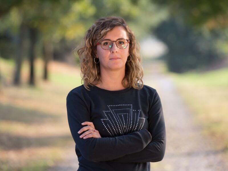
Martina Capponi got a Master in Environmental Engineering and a Ph.D. in Transportation and Infrastructures at Università di Roma La Sapienza. She is focused on the development of processing software for geophysical exploration.
MARTINA CAPPONI
Martina Capponi got her Master’s Degree in Environmental Engineering in 2014 and her Ph.D. in Transportation and Infrastructure at Università di Roma La Sapienza. Her Ph.D. thesis was titled “Very Improved KINematic Gravimetry: a new approach to aerogravimetry”.
From 2014 to early 2019, during her Ph.D. studies, she was also a research fellow at Politecnico di Milano, where her work was mainly focused on potential field methods and the development of processing software for geophysical exploration applications. Within this period she held exercise lectures and laboratories at Politecnico di Milano for courses of the Bachelor and Master Degree in Civil and Environmental Engineering (Topography, Cartography, Positioning and Location Based Serveces).
Since 2014 she attended various international and national conferences as a speaker and she is author and co-author of publications peer-reviewed at international level.
In GReD her principal research activities regard the development of software for processing and interpreting the Earth’s gravity field in the framework of oil&gas exploration applications.
Martina Capponi’s pages on:
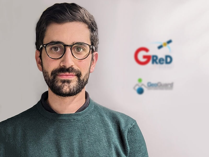
Stefano Barindelli got a Master of Science in Environmental and Land Planning Engineering and a Ph.D. in Environmental and Infrastructure Engineering at Politecnico di Milano. He is mainly focused on the business and product development of GeoGuard and other GReD assets.
STEFANO BARINDELLI
He is a PhD student in Environmental and Infrastructure Engineering at Politecnico di Milano. His research was oriented to the operational use of GNSS water vapor products from both geodetic and cost-effective GNSS receivers for meteorological applications. He held laboratories at Politecnico di Milano for courses related to positioning, monitoring techniques, surveying, and GIS. Now he is mainly involved in the business and product development of the end-to-end GNSS monitoring service GeoGuard, as well as of other GReD products and services.
Alessandro Fumagalli got a Master of Science in Sciences and Technologies for Environment and Landscape at University of Milan – Bicocca. He is mainly focused on optimization and development of GNSS data acquisition and processing software.
ALESSANDRO FUMAGALLI
Alessandro Fumagalli got a Master of Science in Sciences and Technologies for Environment and Landscape at the University of Milan – Bicocca in 2020. He previously developed programs in Python and R for Molecular Mechanics and other bioinformatics applications.
Since March 2022 he is part of the GReD team, mainly focusing on developing code for the in-house software BREVA and the open-source software goGPS for GNSS positioning, and on developing Kalman filter algorithms and software for the HYPER-5G project.

Osmari Aponte is a Geophysical Engineer graduated from Simon Bolivar University, Venezuela, in 2017. She is now a Marie Skłodowska-Curie PhD candidate at Politecnico di Milano, working at GReD. She is focusing on the analysis of ground deformation data in the field of geo-energies.
OSMARI APONTE
Osmari Aponte is a Geophysical Engineer graduated from Simon Bolivar University, Venezuela (2017). Her Bachelor’s thesis, “Characterization of Carbonates by Seismic Attributes and Well Data: Campo Merced, Mexico,” allowed her to work on reservoir characterization through seismic attributes and petrophysical analysis. She then worked as a geophysics analyst in Caracas, specializing in oil and gas reservoir characterization.
She was awarded in 2020 an Erasmus Mundus Scholarship, she completed a Master’s degree in Marine Environment and Resources (MER+) in 2022. Throughout this program, she had the opportunity to enrich her academic experience at the Université de Bordeaux (UBx), Universidad del País Vasco (EHU/UPV), and Université de Liège (ULiège). Her Master’s thesis, “Evaluation of the Influence of Submarine Outflows of Waste Water Treatment Plants on Posidonia oceanica meadows in the Balearic Islands,” showcased her dedication to environmental research.
She is a doctoral candidate at GReD and Politecnico di Milano. Her specific research project aims to develop innovative solutions by creating an automated software tool for analyzing ground deformation time series obtained from Galileo-enabled low-cost GNSS receivers in conjunction with DInSAR monitoring and ground modeling.
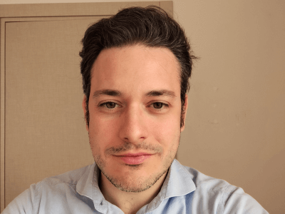
Luca Basili got a Master Degree in Computer Science at Università degli Studi di Camerino. He is mainly focused on software design and development. He is also involved in deployment of microservices and cloud architectures.
LUCA BASILI
Luca Basili got a Master Degree in Computer Science at Università degli Studi di Camerino in 2018.
After graduation, he worked as a software engineer in companies mainly focused on development of IoT products.
He has expertise in IoT technologies applied to Smart Agriculture, GNSS Monitoring, Construction, Building Automation and Hospitality.
During his working career, he developed IoT solutions based on MQTT and WAMP protocols and wireless acquisition systems based on Ultra Low Power Devices (by means of low power consumption protocols like LoRaWAN) for environmental and infrastructure monitoring.
He also developed domotic solutions by means of web-based frameworks and building automation protocols.
Recently, he played a key role in refactoring of on-premises Web platforms into microservices in order to enhance the scalability and portability of these applications.
Since May 2024 he is part of the GReD team.
In GReD, he is mainly focused on software development of GeoGuard.
Luca Basili’s pages on:

Andrea Valenzano is a Computer Science student at Universita’ degli Studi di Genova, working at GReD.
He is mainly focused on the development of devices used in GeoGuard and other GReD projects.
ANDREA VALENZANO
Andrea Valenzano is a Computer Science student at Universita’ degli Studi di Genova. Since April 2024, he is part of the GReD team, focusing on software and kernel development of the Geoguard Monitoring Units. He previously worked as a developer in the field of industrial automation, participating in projects of large players in the field of renewable energy.
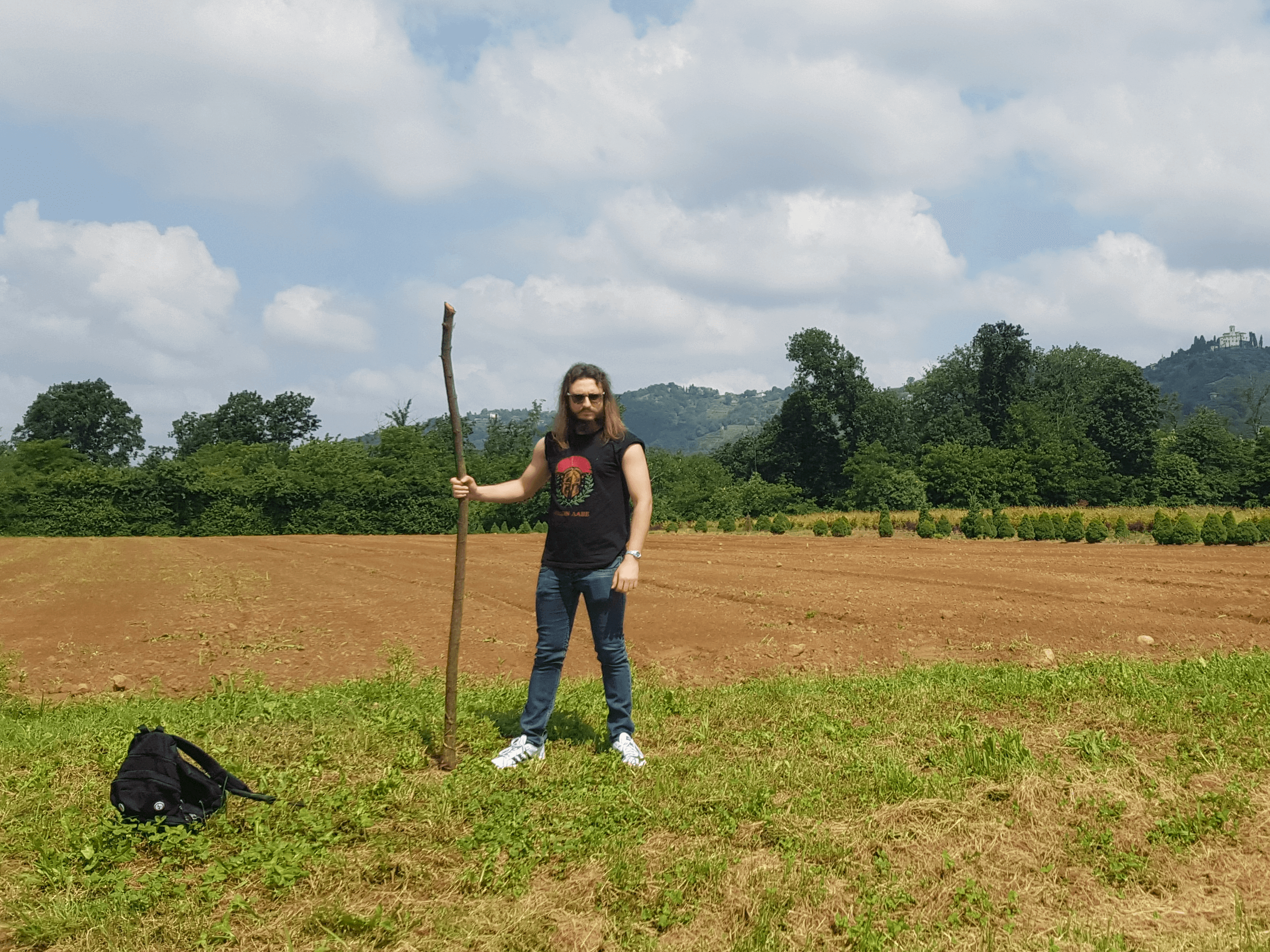
Lorenzo Serafini got a Master Degree in Astrophysics at Università degli Studi di Firenze.
He works on the development of processing software for geophysical exploration.
LORENZO SERAFINI
Lorenzo Serafini got a Master Degree in Astrophysics at Università degli Studi di Firenze with a thesis named “Acceleration of the ECHO code and study on Relativistic Magneto-hydrodinamic Turbulence”, a work that made him develop an interest in scientific programming and High Performance Computing architecture.
He is part of GReD since February 2025, where he works on the development of software for processing and interpreting the Earth’s gravity field with the aim of exploration.
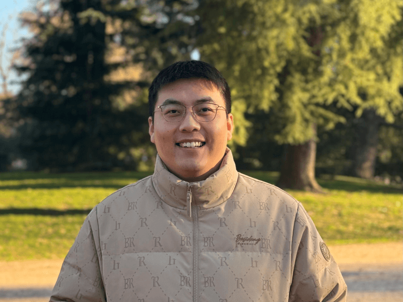
Xiangyang Song got a Master Degree in Geoinformatics Engineering at Politecnico di Milano. Currently, he is a National PhD candidate at GReD and Sapienza University of Rome. He is mainly focused on atmospheric water vapor modeling and convective rainfall events nowcasting.
XIANGYANG SONG
Xiangyang Song got a Master Degree in Geoinformatics Engineering at Politecnico di Milano in 2022.
After graduation, he did his internship at Department of Civil and Environmental Engineering, Politecnico di Milano. From 2023, he joined the GEOlab POLIMI as a research fellow.
Currently, he is a National PhD candidate at GReD and Sapienza University of Rome.
He is mainly focused on atmospheric water vapor modeling and convective rainfall events nowcasting.